
Roswell Outdoors: Nine Miles of River and the Trails That Follow It

By Mary McMath, Keller Williams Realty Atlanta North
October 27, 2026 · 1 min read
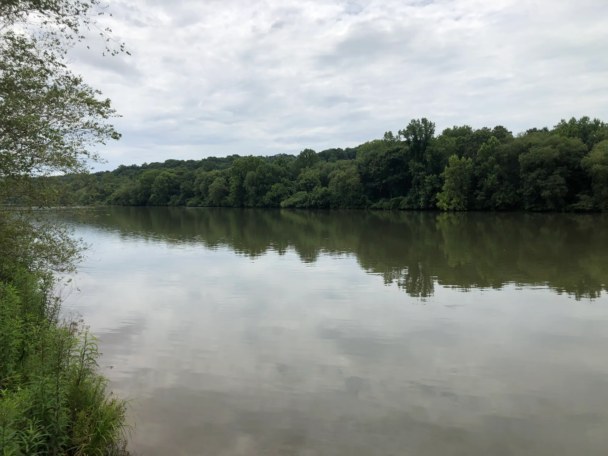
Roswell's river frontage is one of its biggest draws, and it's backed by real numbers.
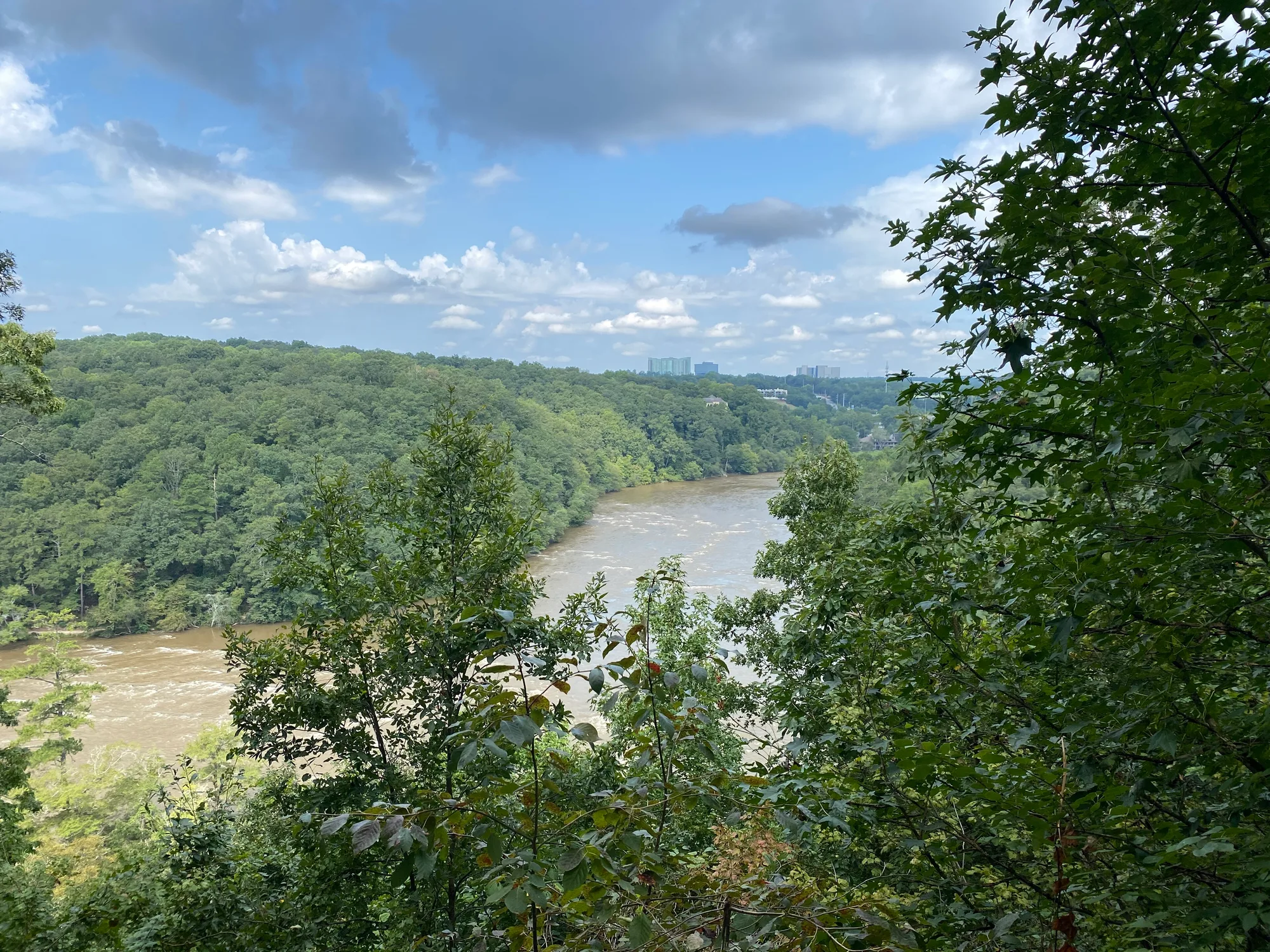
Nine miles of river. Roswell stretches nine miles along the Chattahoochee. The city maintains more than 900 acres of parkland in total.
Roswell Riverwalk. This 7-mile trail runs along the river from Riverside Drive at Eves Road to Willeo Road. It's mostly paved, with a newer boardwalk and dirt extension past the Chattahoochee Nature Center to Willeo Park. Parking is available at:
- Azalea Park, 203 Azalea Drive
- Riverside Park, 575 Riverside Road
- Don White Memorial Park, 925B Riverside Road
On the water. The park service's official outfitter rents tubes and kayaks next to Azalea Park.
Vickery Creek. This unit of the Chattahoochee River National Recreation Area has a trail network of more than 5 miles. The popular loop to the mill dam waterfall and covered bridge runs about 4.7 miles round trip. Parking at the Riverside Road trailhead is a $5 day pass or covered by an annual park pass. A covered pedestrian bridge from Old Mill Park connects downtown to these trails.
Take it from Mary: if walking to the Riverwalk is a must-have, I'll map the route from each home we tour.
A note on the numbers: every figure in this post is a good-faith estimate taken from the sources below as of the date it was posted. Figures aren't exact and can change, so please do your own research and confirm anything important with the official source before relying on it.
Sources
- Roswell Riverwalk (TrailLink)
- Roswell Mill and Vickery Creek Trail (Atlanta Trails)
- Roswell, Georgia (Wikipedia)
Photo: Thomson200 via Wikimedia Commons, CC0.
More about Roswell